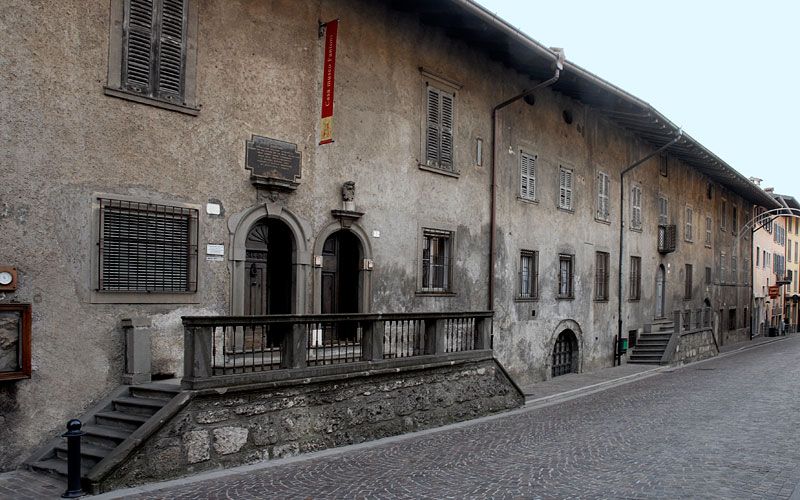
Rovetta
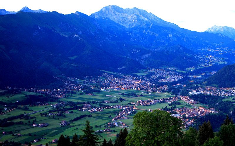
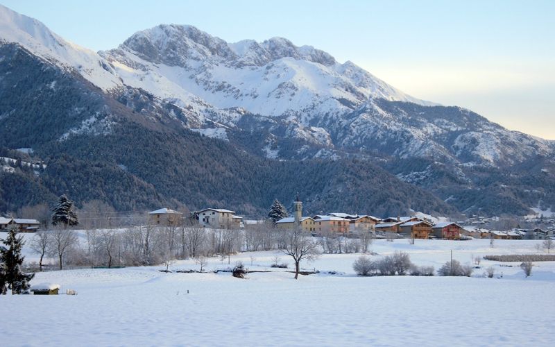
Rovetta and San Lorenzo are in an attractive geographical position in an area that extends from the regal Mount Presolana to the high plain of Clusone in the extreme south, and covers over 24 square kilometres (36,308 Bergamascan perches): in ancient times the territory comprised mainly meadows, woods and fields). Rovetta is about 700 metres above sea level and the mountains that surround it vary in height: in the north there is Mount Blum at 1,302 metres and Mount Parè (1,642); to the north east is Mount Presolana (2,521); to the east we have Mount Pora (1,876) and Mount Falecchio (902); in the south there is the Pizzo Formico chain the peak of which is at 1,637 metres; to the west there are no mountains to mark the boundary in that this chain continues and ends at Ponte Nossa.
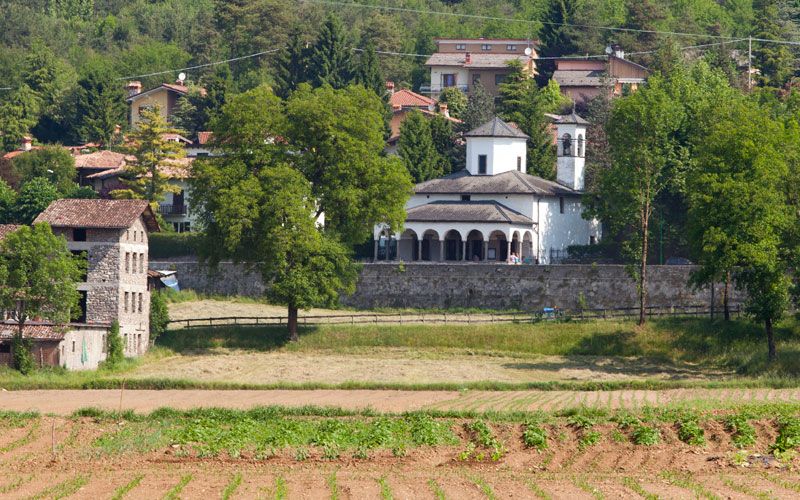
Mount Falecchio and the Pizzo Formica chain have no intermediate mountains, since downhill there is the River Borlezza. The plain is called Agro (Agher) and at the bottom of it there is San Lorenzo. From a study carried out by Professor Rocco Zambelli all of this area, which extends from Castione della Presolana to Clusone and Lovere, was originally under the sea until it gradually emerged and its definitive movement took place around 20 million years ago, revealing Dolomite-like rock. In ancient times, the streams ran over different routes. For example, the River Serio flowed past the Cantoniera della Presolana and flooded the land from Castione to Clusone. The situation gradually modified itself so that the Serio changed its course, but another stream that flowed towards Sovere slowly started to erode the land and that is how the current Valle Borlezza was formed, where the stream started at one stage to cut an underground river bed that came out behind Castro. Two million years ago the Valle Borlezza took its essential line and the stream continued to transport material, softening the surroundings. With the passing of time, that material became solid to create a kind of highly prized marble that was later used for the construction of altars for the area’s churches. There were also glaciations to which the Valle Borlezza resisted, but it still influenced the formation of the Formico chain’s rock, in that by the water continually freezing and melting it became brittle.
Sport e divertimento
Attrazioni culturali
Dove dormire
Dove mangiare
CONTATTI
- Piazza Ferrari n. 24, Rovetta
- 0346 72004
- Sito internet


Condividi con #valseriana