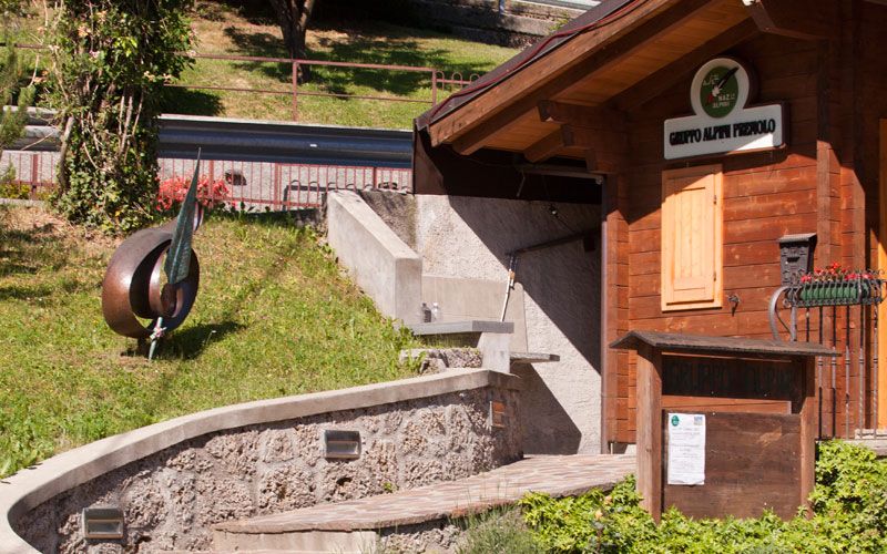
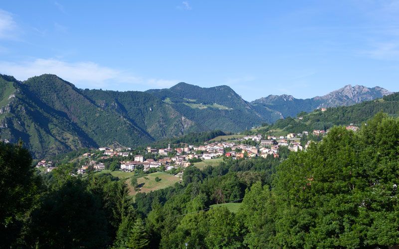
Premolo
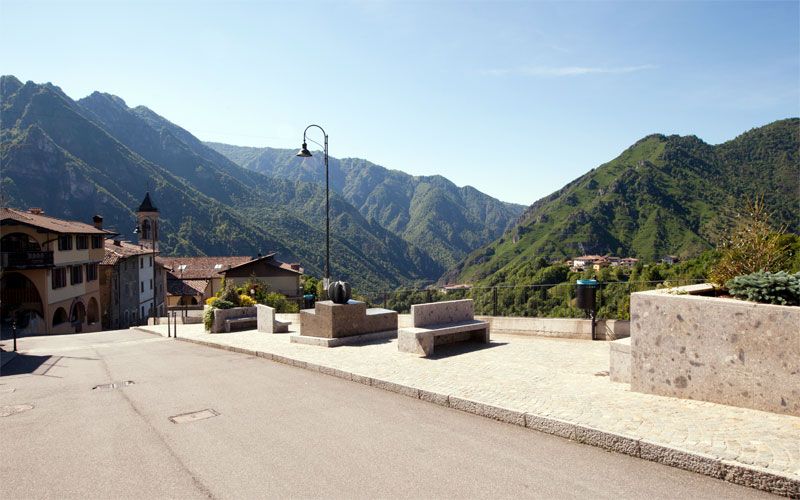
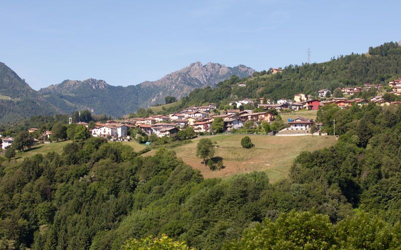
The Municipality of Premolo is a mountain centre of the Orobic Prealps the residential nucleus of which is between 650 and 700 metres above sea level. The village is situated on a sunny high plain that faces the banks of the upper Valle Seriana from which it dominates the floor of the valley, the Clusone plain and a range of mountains, among which is the massif of Mount Presolana. It is located on an ancient mule track and is quite rightly called The Road of the Metals, because along its route are the major Bergamascan mines and, certainly, in olden days alive with minerals merchants, mining experts and metal workings.
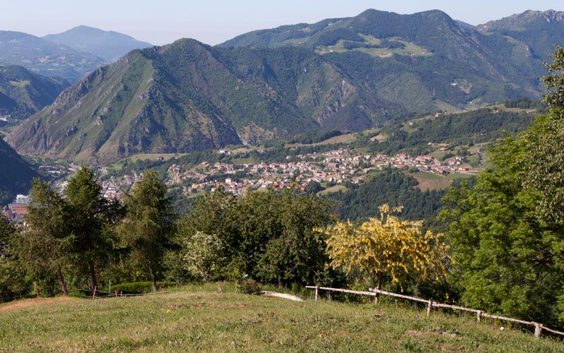
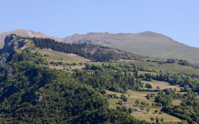
Over 900 metres of grazing land and shepherds’ huts are strewn across the slopes and rocky crests that reach up to an altitude of the 2,512 metre Pizzo Arera. The village is one of the oldest in the Valle Seriana: as revealed in the Latin documents written by Primolus and Primulus deducing that Premolo is the equivalent of primus locus; those who read of the geographic configuration of the village love to see the mole or breakwater that juts out to the left above the River Serio on the valley floor: Pizzo Formico is written in medieval Latin Pre Molum, the village that opens out in front of the mountain opposite Mount Molo.
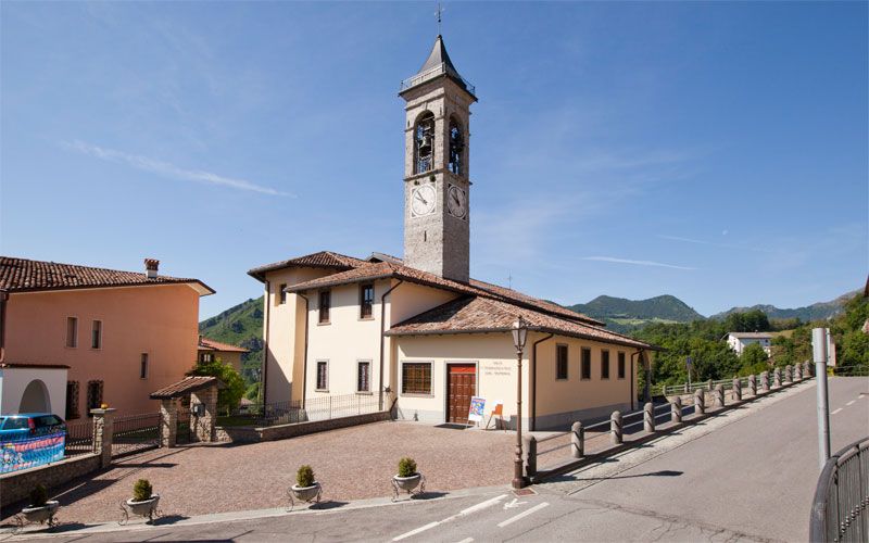
Archaeological finds of the remains of skeletons and a number of flint tools were discovered in 1963 at the Canal D’Andruna, a ravine used for burials in the Bronze Age in Valle Dossana testify to the presence of man as early as 3,000 years BC. The origin of the S. Andrea parish church dates back to 1290. Two religious festivals are close to the villagers’ hearts: they are those of the patron Saint Andrea, which is celebrated on the last Sunday of November and that for joint patron saint S. Defendente, which takes place on the first Sunday of September and is in memory of the vote of 2 January 1630, enabling the Premolo people to be protected from the scourge of the plague.
On the borders between Premolo and Parre there is the source of the Nossa stream, a tributary of the River Serio. That location is on the floor of the most important valley, the Dossana. The visible rocks are an open book where one can read the natural phenomena which, in the various geological periods, helped shape the valley: from the presence of a vast tropical sea in which the rocks packed with fossils were formed, the surfacing accompanied by volcanic elements, of our mountains from the bottom of the sea, under the impact of cyclopean primordial forces. In the course of this long geological evolution pervaded by the fracture of the rocks and enriched them with minerals and metals. So today, the Val Dossana is a real living geological tract.
Sport e divertimento
Attrazioni culturali
Dove dormire
Dove mangiare
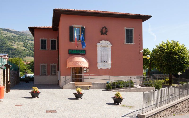
CONTATTI
- Via Ranica n. 105, Premolo
- 035 701059
- Sito internet


Condividi con #valseriana